Road trip data analysis
Saturday, September 09, 2006
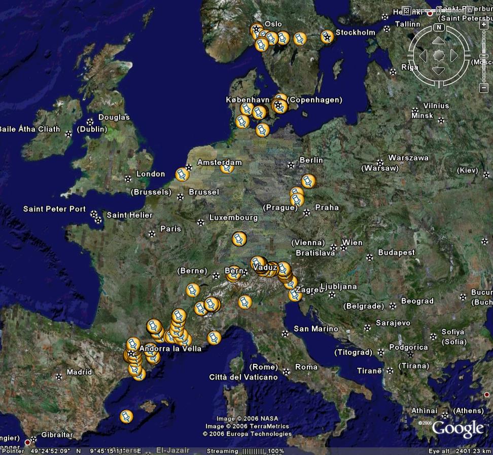
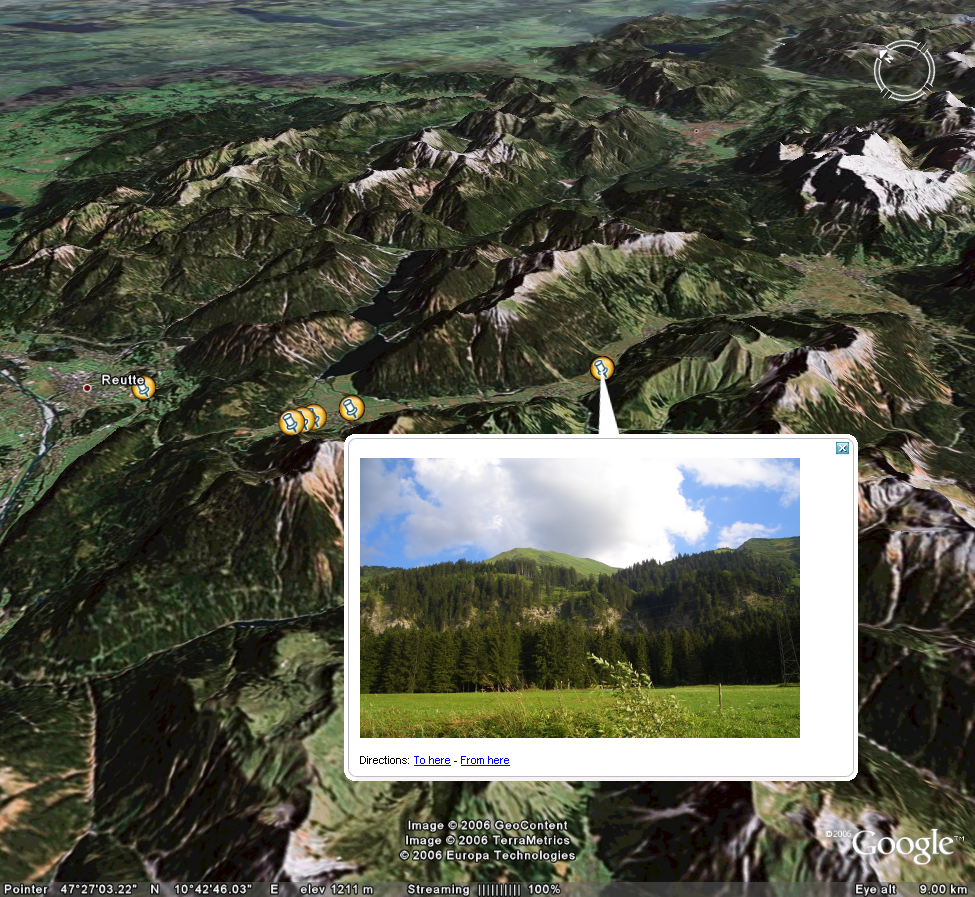
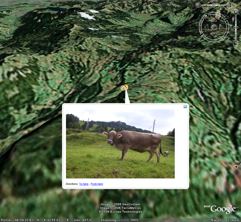
Picture placemarks
By using the time the picture was taken and combining it with the GPS data it's possible to do the following with Google Earth:
posted by Rob at
12:58 PM
<< Home
About Me
Name:
Rob
Location:
London, United Kingdom
View my complete profile
Previous Posts
The US data
GPS Data Manipulation

<< Home